What is an Inertial Measurement Unit (IMU)?
When navigating the complexities of motion sensing and navigation systems, it is essential to understand the distinctions between devices and systems like Inertial Measurement Units (IMUs), Inclinometers, Roll & Pitch sensors, Vertical Reference Units (VRU), Attitude and Heading Reference Systems (AHRS), Motion Reference Units (MRUs), Gyrocompasses, and GNSS-Aided Inertial Navigation Systems (GNSS/INS). Each serves specific purposes and offers different levels of functionality, accuracy, and application scope.
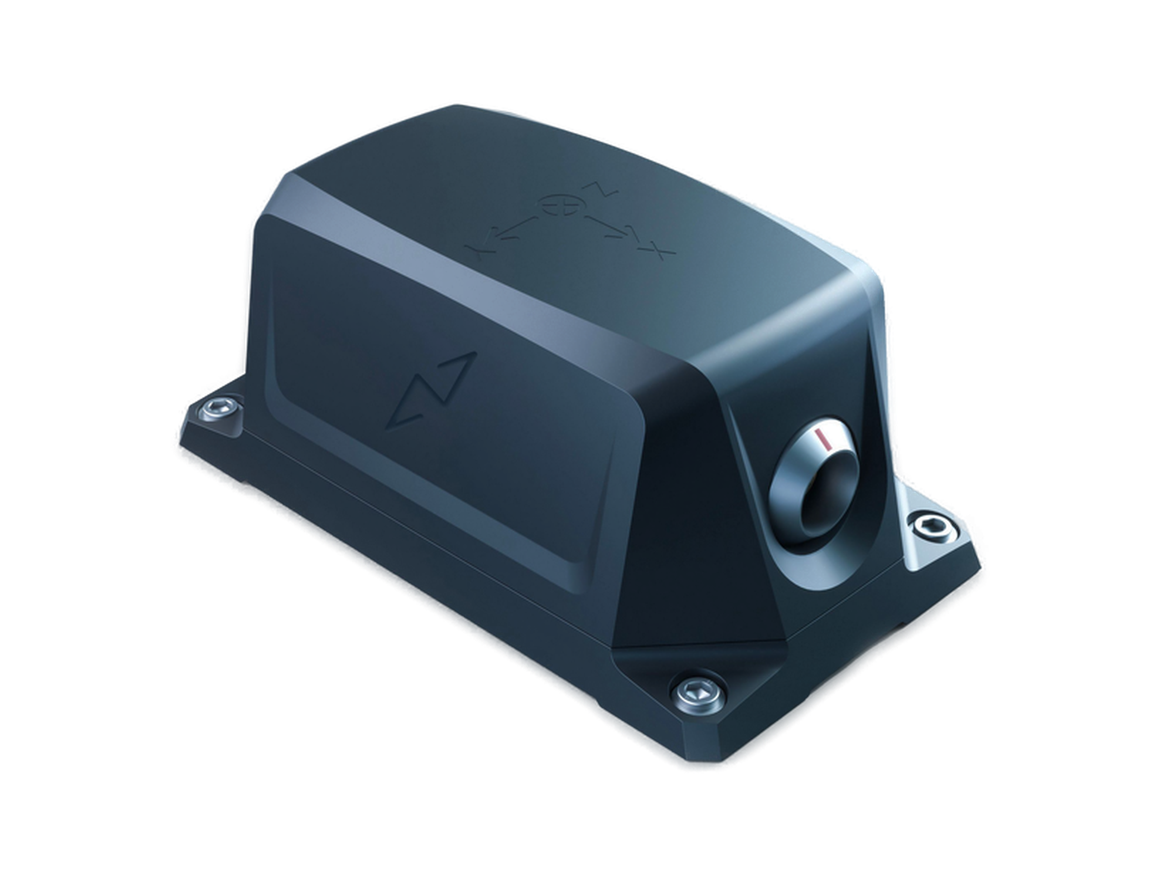
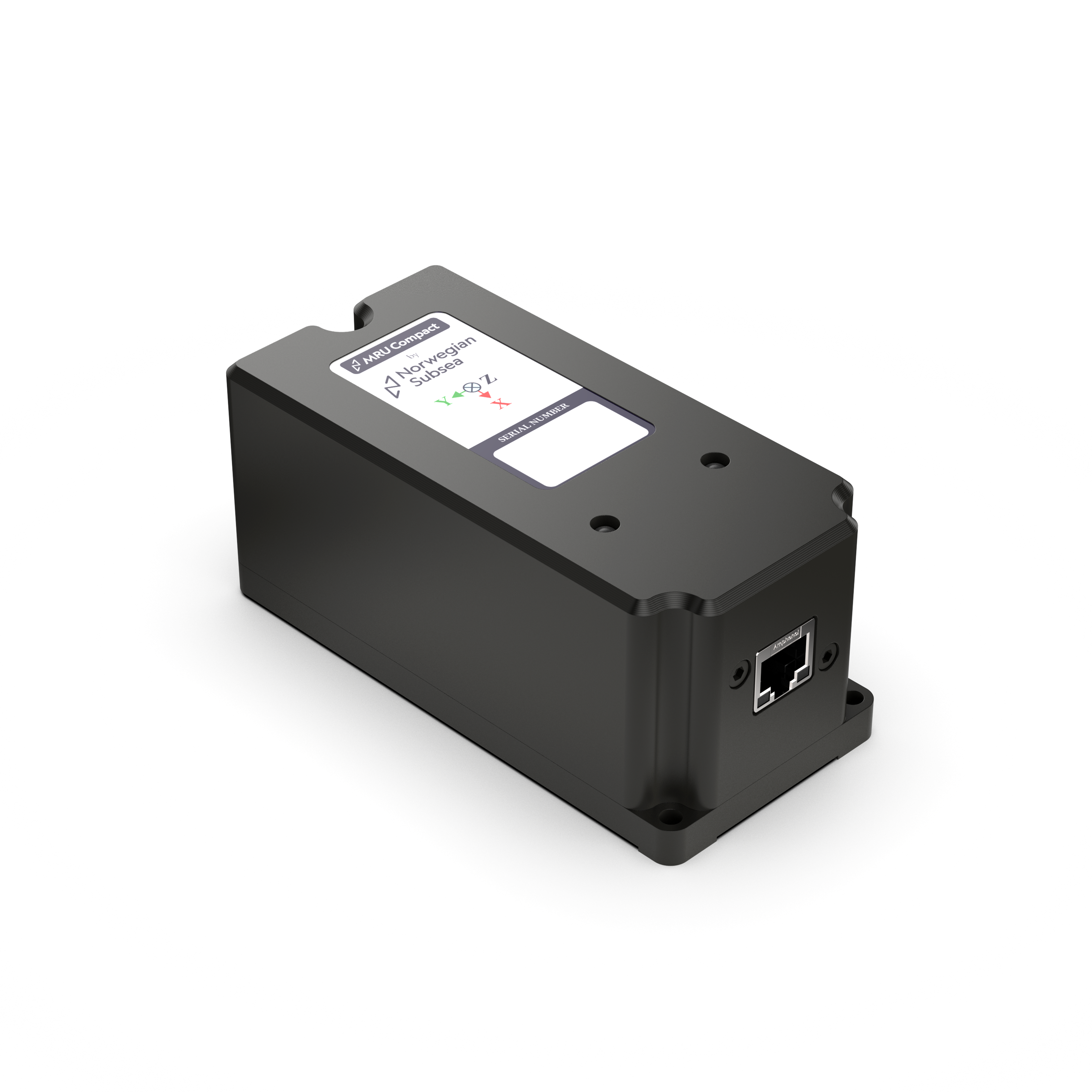
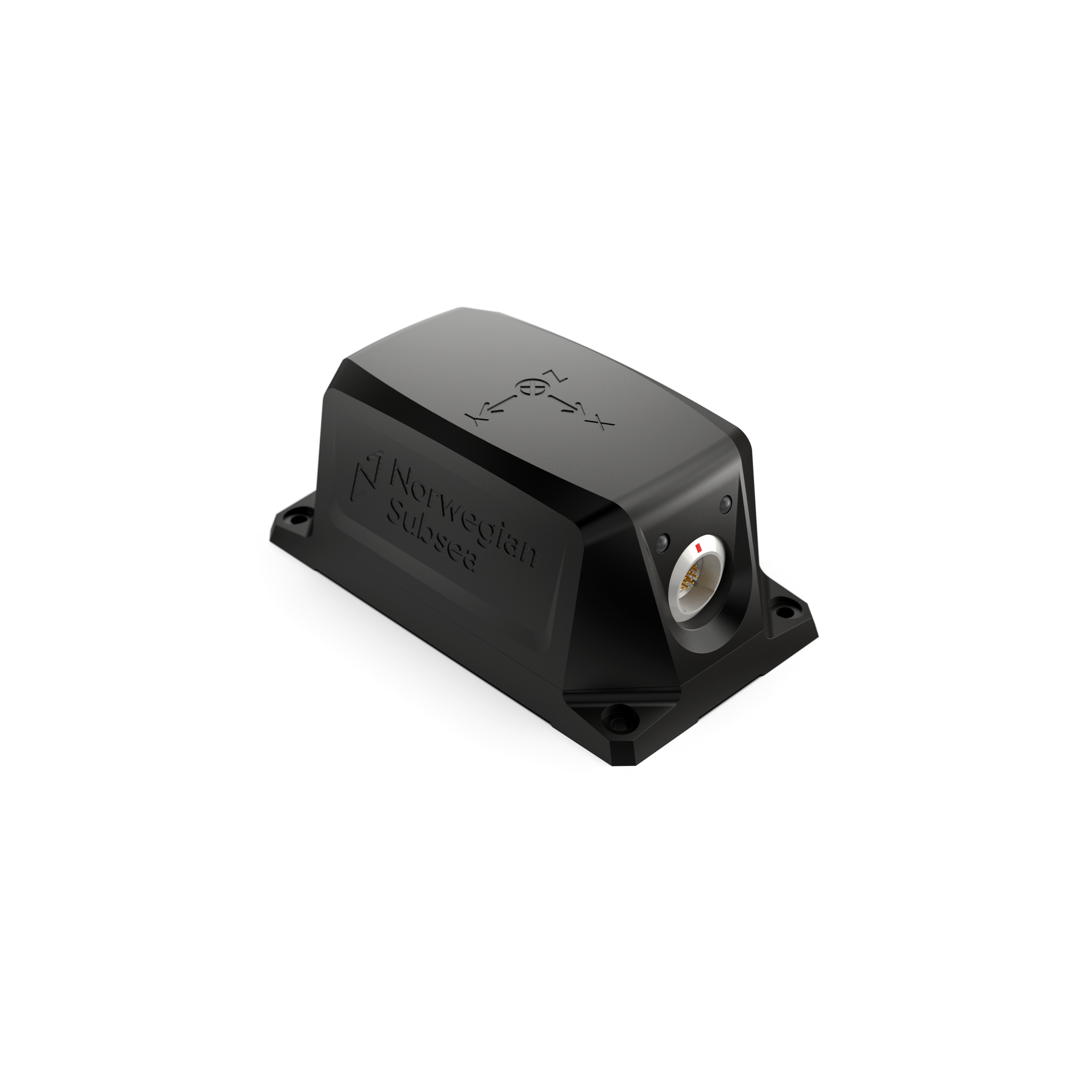
Inertial Measurement Unit (IMU)
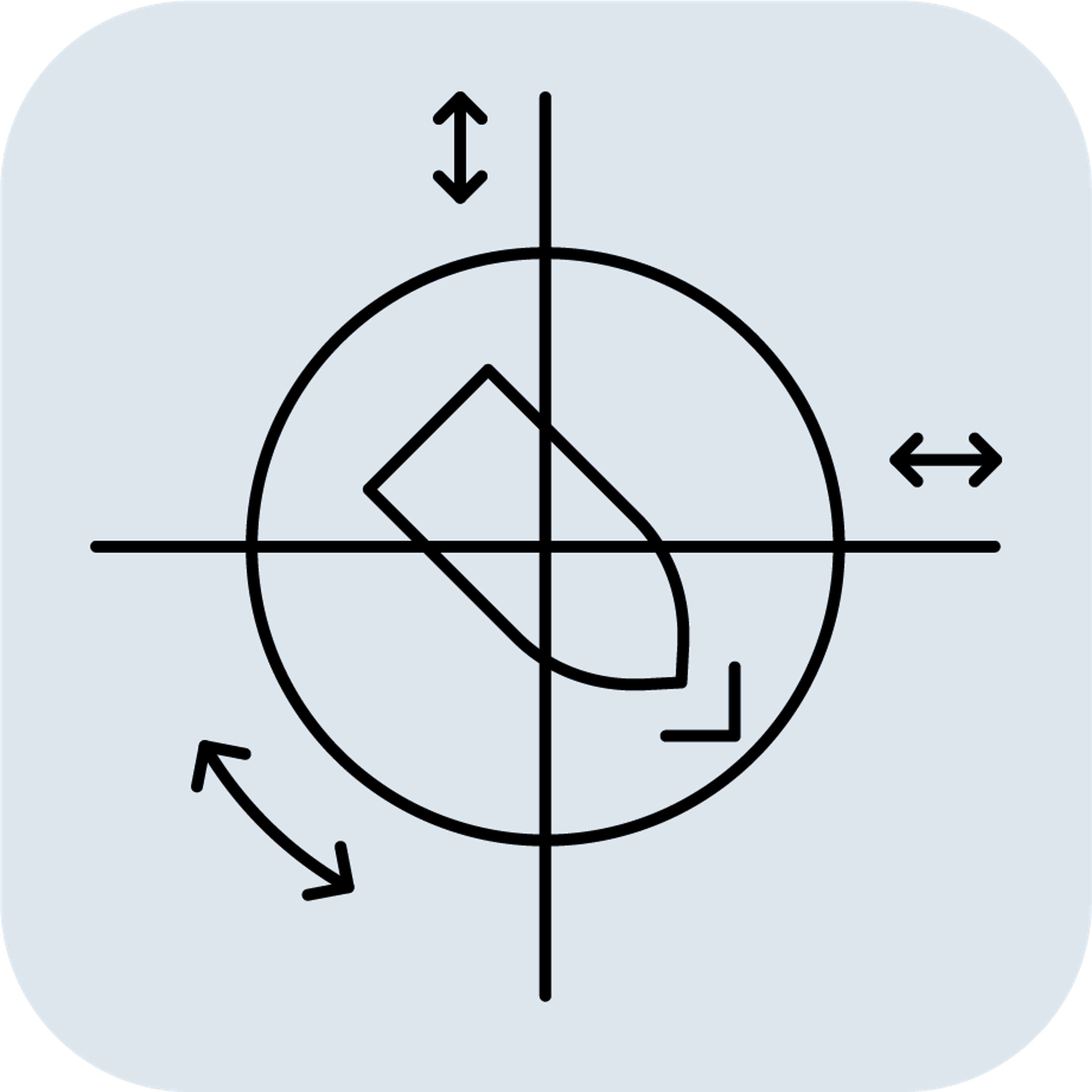
Definition: An IMU is an electronic device that measures and reports an object's linear acceleration and angular velocity using a combination of accelerometers and gyroscopes along three orthogonal axes (X, Y, and Z). It achieves this by utilizing a combination of sensors—primarily accelerometers and gyroscopes, and occasionally magnetometers. IMUs only provide raw data from their sensors and do not include "smart" features such as processing (e.g., Kalman Filter). The IMU cannot provide attitude (roll and pitch), velocity, or position without external processing.
Key Features:
- Sensors Included: Accelerometers (measure linear acceleration) and gyroscopes (measure angular rate).
- Output: Raw sensor data on acceleration and rotation rates.
- Functionality: Provides fundamental motion data without further processing to determine attitude, velocity, or position.
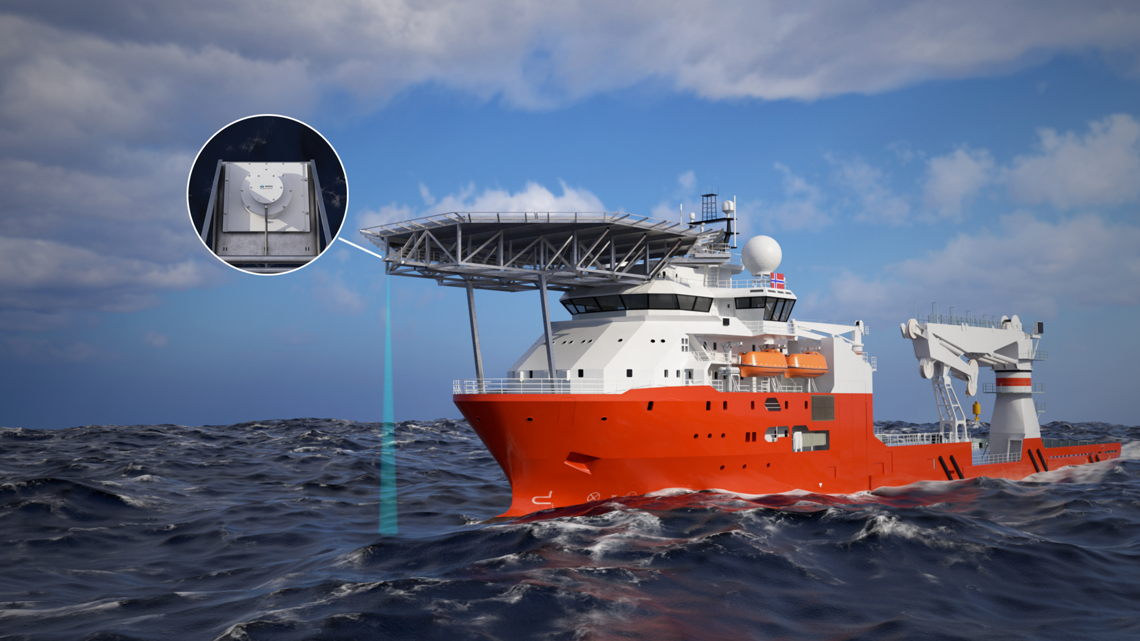
Applications: Used in systems where raw inertial data is sufficient or will be processed further by an external system.
Example Uses:
- Basic navigation systems: Where external processing is available.
- Robotics: For control algorithms requiring raw motion data.
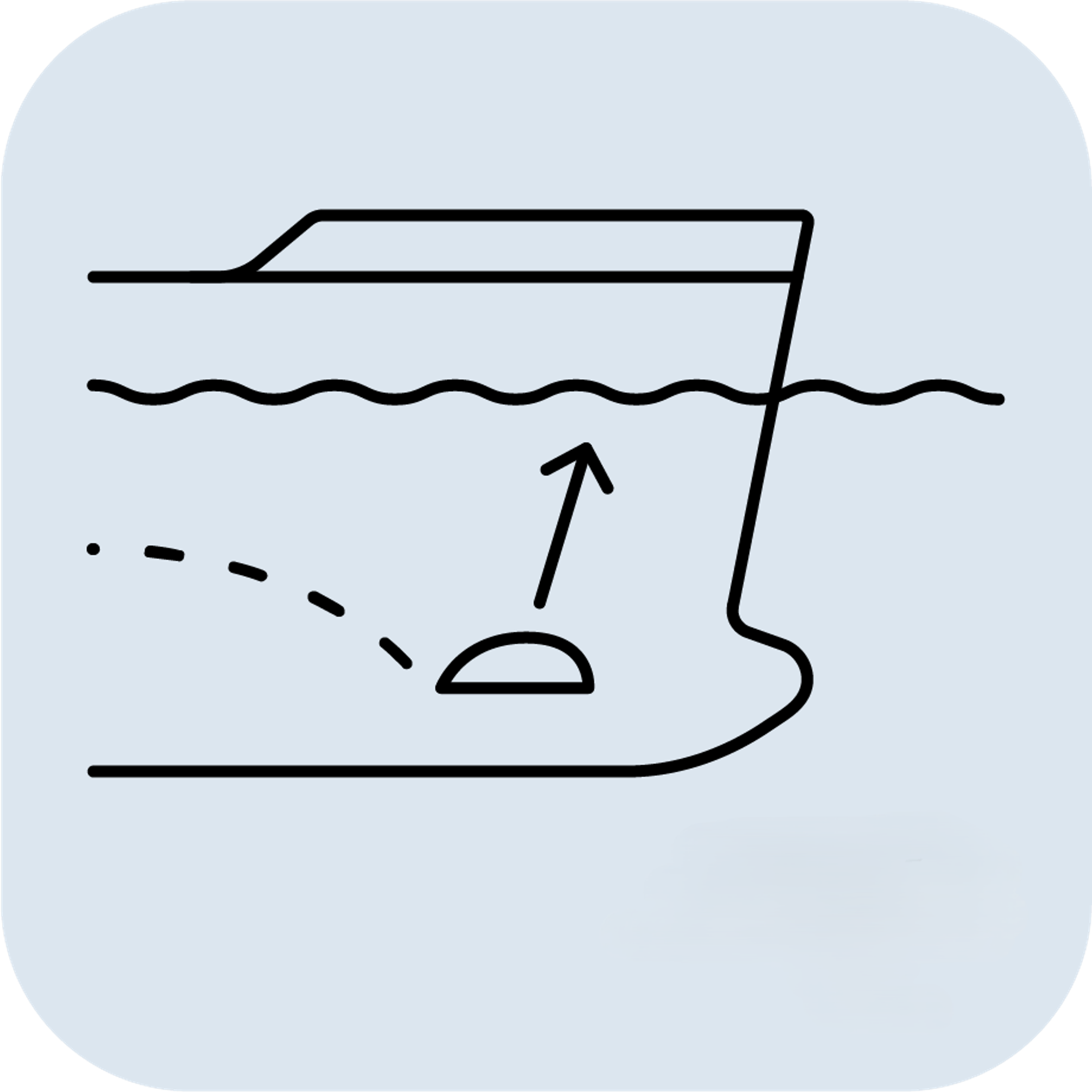
- Stabilization of cameras and drones.
Selecting the appropriate sensor depends on the required measurements, environmental conditions, and budget.
- Use an IMU when you need raw acceleration and rotational data.
- Use an Inclinometer for simple, static tilt measurements.
- Use a Roll & Pitch Sensor for lower-level attitude measurements in a dynamic setting.
- Use a VRU when precise roll and pitch measurements are needed in a dynamic environment.
- Use an AHRS for roll, pitch, and heading data.
- Use an MRU for comprehensive motion data in dynamic marine environments.
- Use a Gyrocompass for accurate true north heading.
- Use a GNSS/INS for continuous, absolute position, velocity, and orientation data.