What is a Gyrocompass?
When navigating the complexities of motion sensing and navigation systems, it is essential to understand the distinctions between devices and systems like Inertial Measurement Units (IMUs), Inclinometers, Roll & Pitch sensors, Vertical Reference Units (VRU), Attitude and Heading Reference Systems (AHRS), Motion Reference Units (MRUs), Gyrocompasses, and GNSS-Aided Inertial Navigation Systems (GNSS/INS). Each serves specific purposes and offers different levels of functionality, accuracy, and application scope.
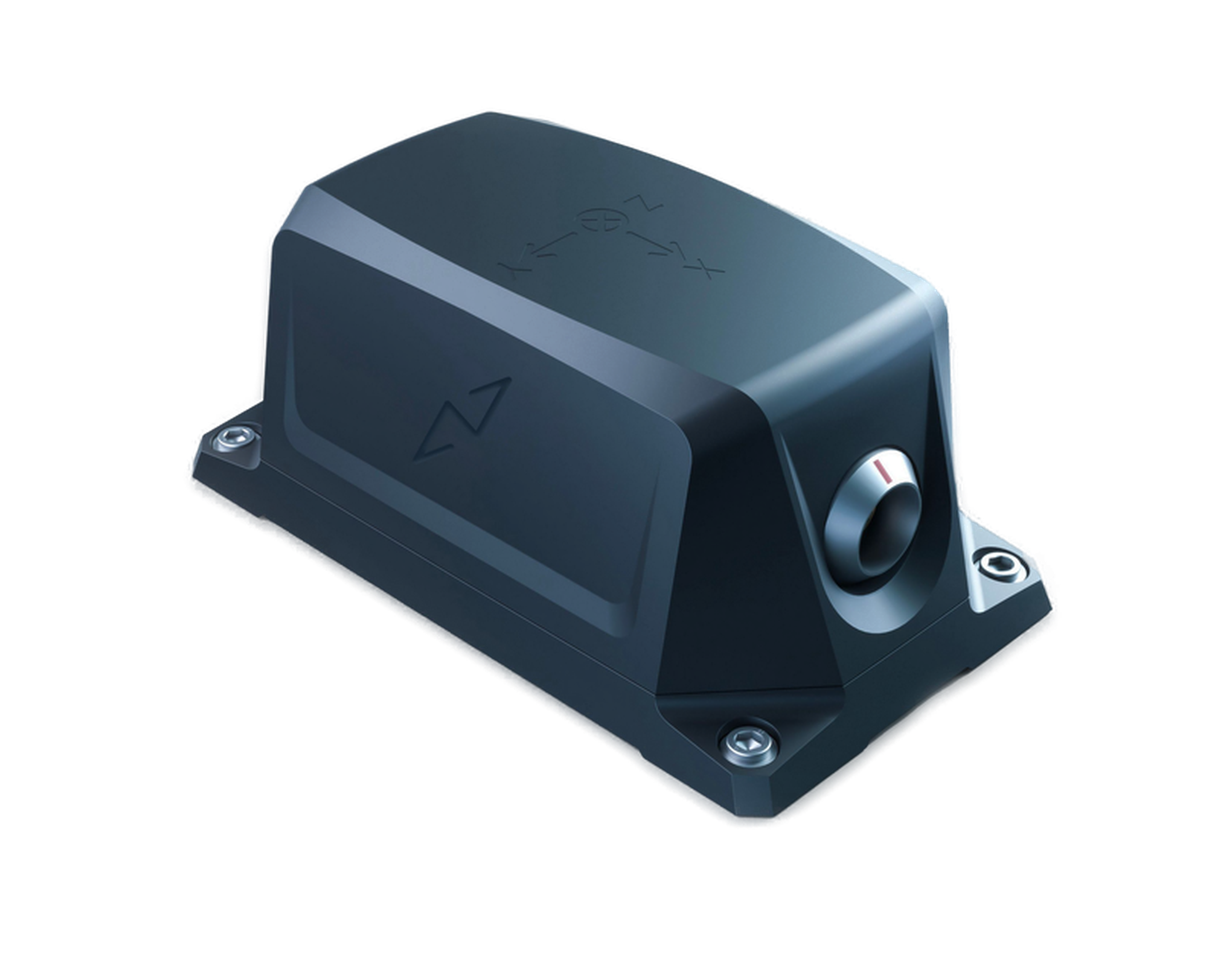
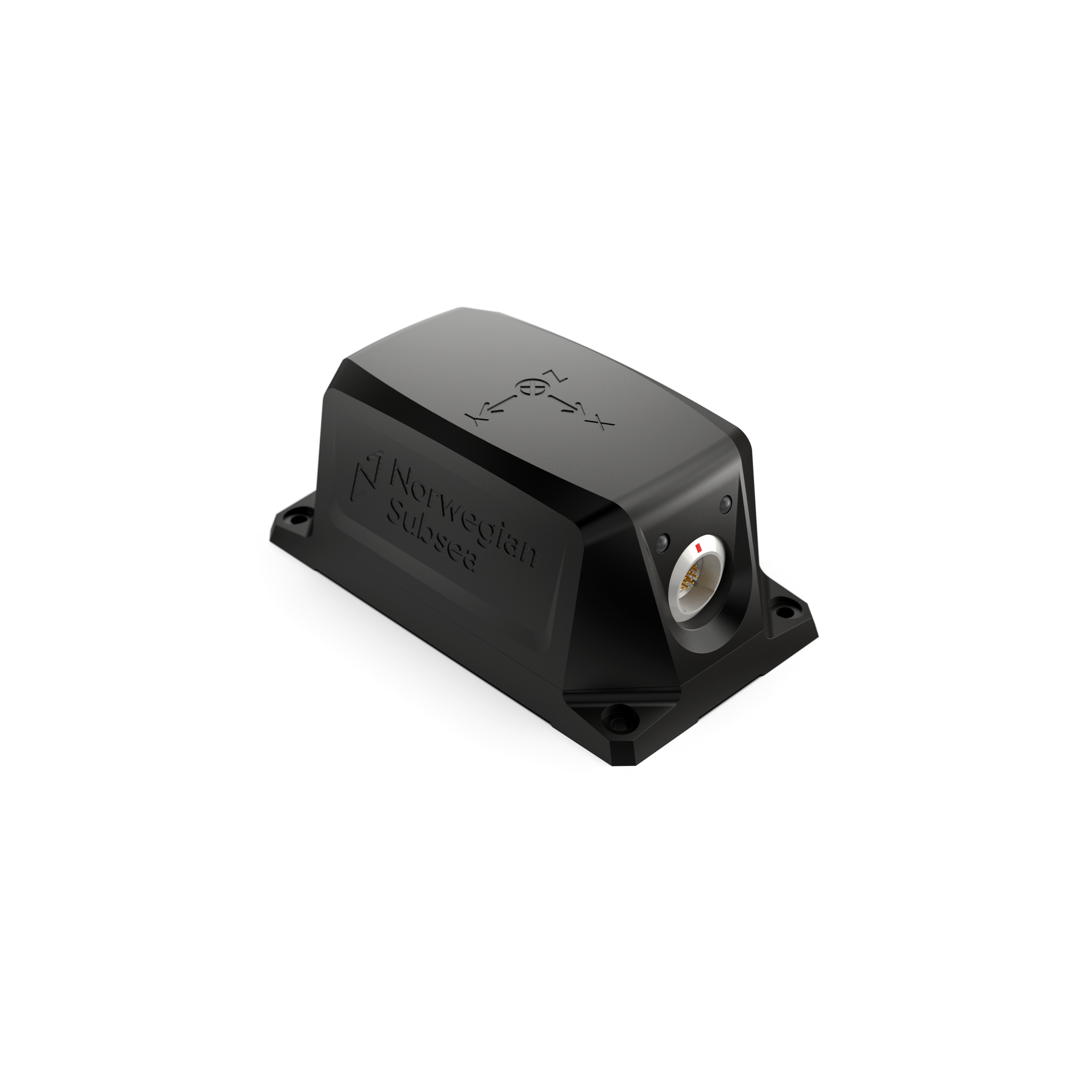
Gyrocompass
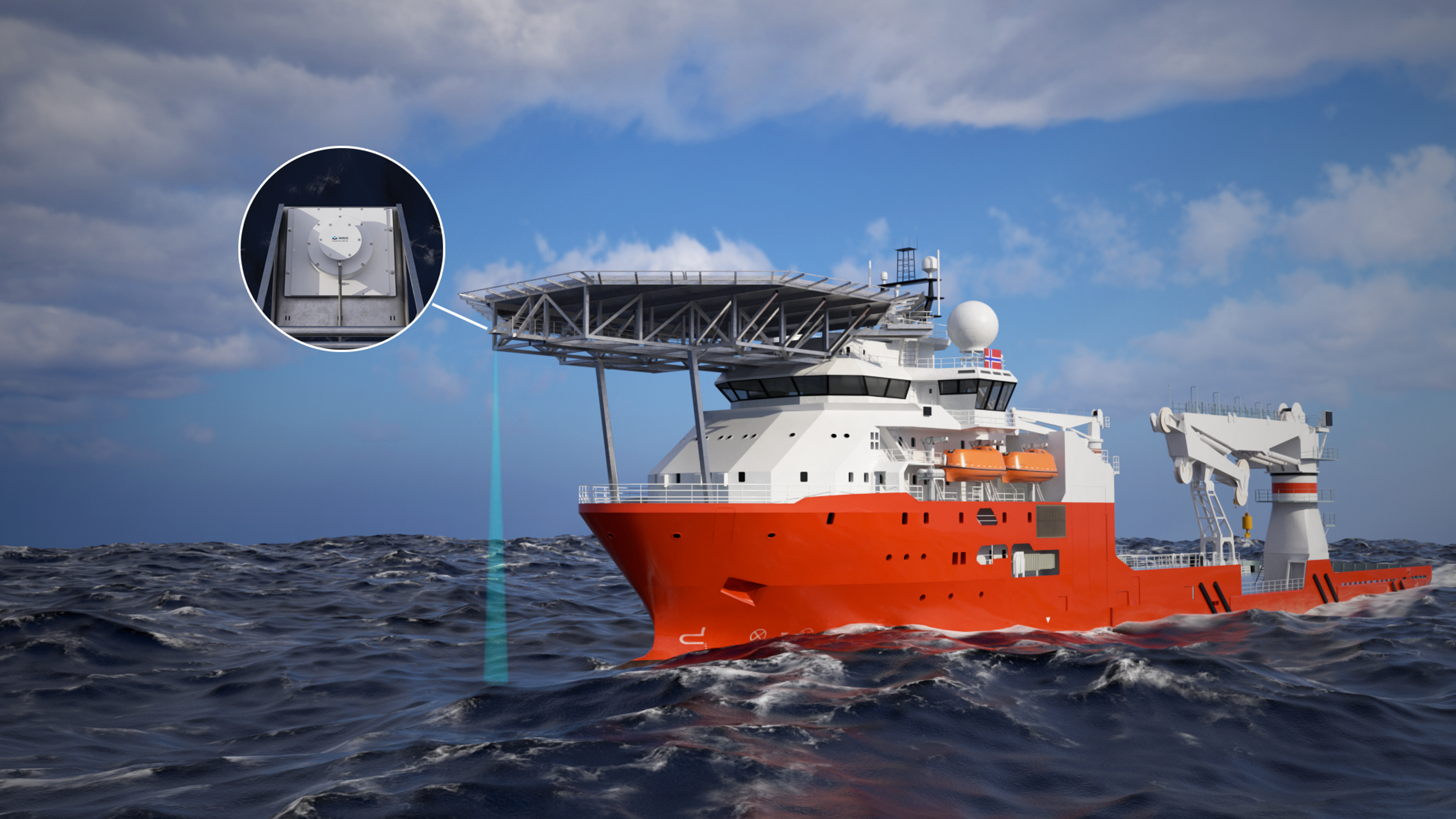
Definition: A gyrocompass is a navigational instrument that determines true north by utilizing high-precision gyroscopes, such as fiber optic gyros (FOG), ring laser gyros (RLG), or traditional spinning-mass gyros. Unlike magnetic compasses, which are susceptible to magnetic anomalies, a gyrocompass identifies true north based on the Earth's rotation, aligning with the geographic North Pole. It provides constant and reliable heading information without dependence on external signals like GPS, which can be disrupted or unavailable. The incorporation of advanced, high-precision gyroscopes contributes to the high cost of gyrocompasses.
A gyrocompass has a settling time to stabilize and accurately align with true north after initialization, which can vary depending on the system's design and environmental factors. At high northern or southern latitudes, the gyrocompass faces challenges due to the diminishing horizontal component of Earth's rotation, making it harder to align to true north.
Key Features:
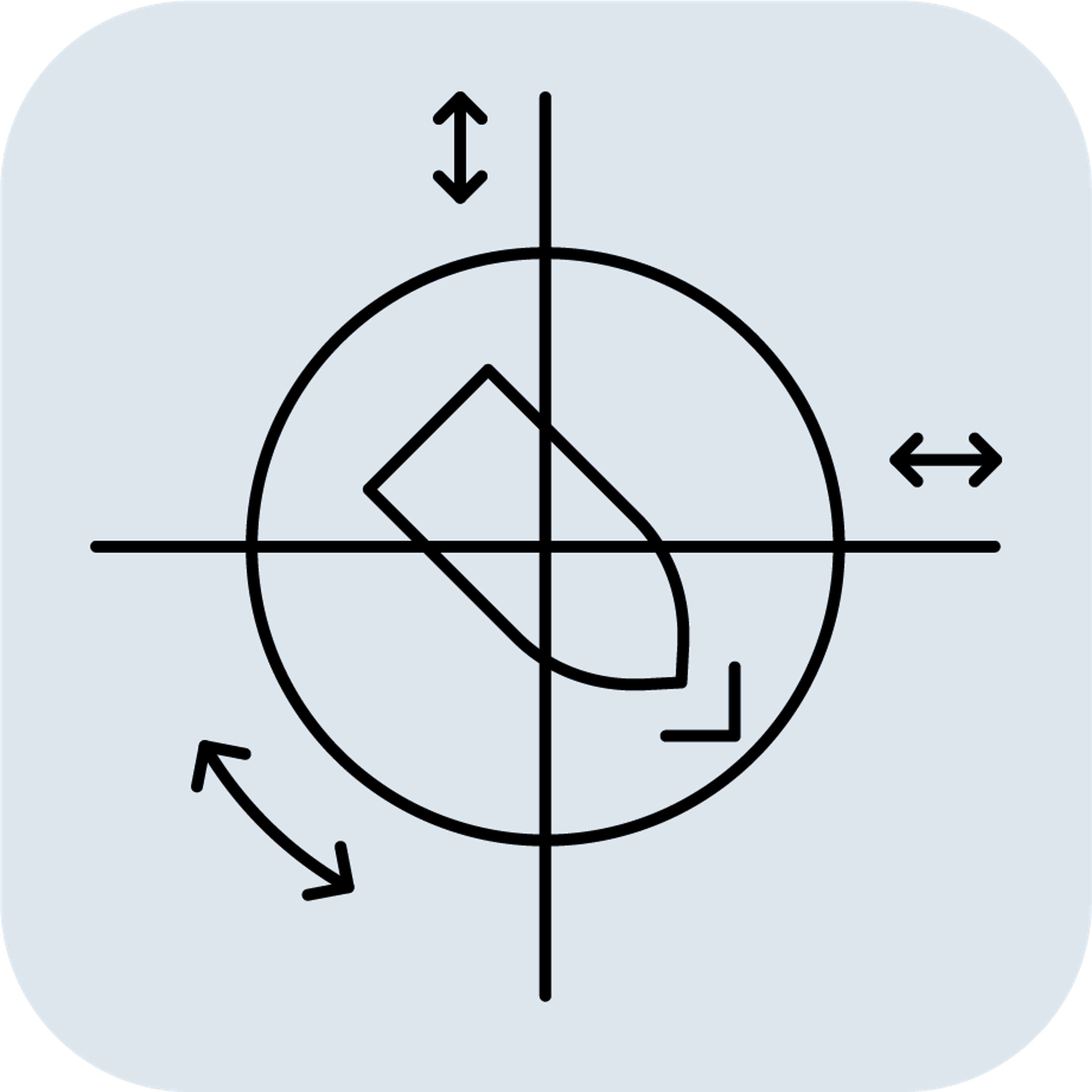
- Sensors Included: High-precision gyroscopes and accelerometers
- Output: True north heading information.
- Functionality: Uses gyroscopic principles and Earth's rotation to maintain a true north orientation.
- Applications: Provides stable and accurate heading information, essential for navigation in vessels and aircraft.
Example Uses:
- Maritime Navigation systems: Ships, autonomous underwater vehicles (AUV) and working class Remotely Operated Vehicles (ROV).
- Alignment of Subsea installations
- Aircraft heading reference systems
Selecting the appropriate sensor depends on the required measurements, environmental conditions, and budget.
- Use an IMU when you need raw acceleration and rotational data.
- Use an Inclinometer for simple, static tilt measurements.
- Use a Roll & Pitch Sensor for lower-level attitude measurements in a dynamic setting.
- Use a VRU when precise roll and pitch measurements are needed in a dynamic environment.
- Use an AHRS for roll, pitch, and heading data.
- Use an MRU for comprehensive motion data in dynamic marine environments.
- Use a Gyrocompass for accurate true north heading.
- Use a GNSS/INS for continuous, absolute position, velocity, and orientation data.