What is a GNSS-Aided Inertial Navigation System (GNSS/INS)?
When navigating the complexities of motion sensing and navigation systems, it is essential to understand the distinctions between devices and systems like Inertial Measurement Units (IMUs), Inclinometers, Roll & Pitch sensors, Vertical Reference Units (VRU), Attitude and Heading Reference Systems (AHRS), Motion Reference Units (MRUs), Gyrocompasses, and GNSS-Aided Inertial Navigation Systems (GNSS/INS). Each serves specific purposes and offers different levels of functionality, accuracy, and application scope.
GNSS-Aided Inertial Navigation System (GNSS/INS)
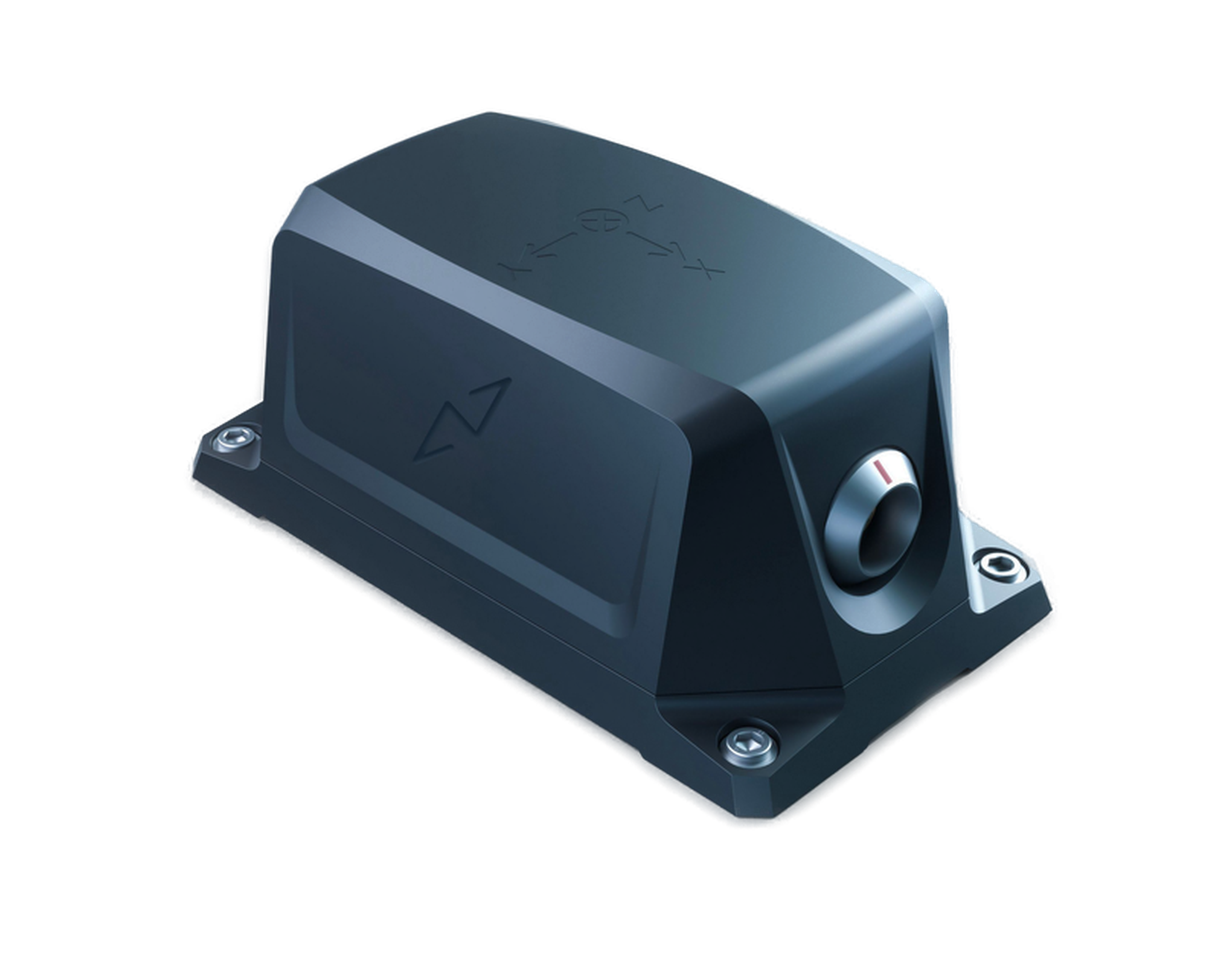
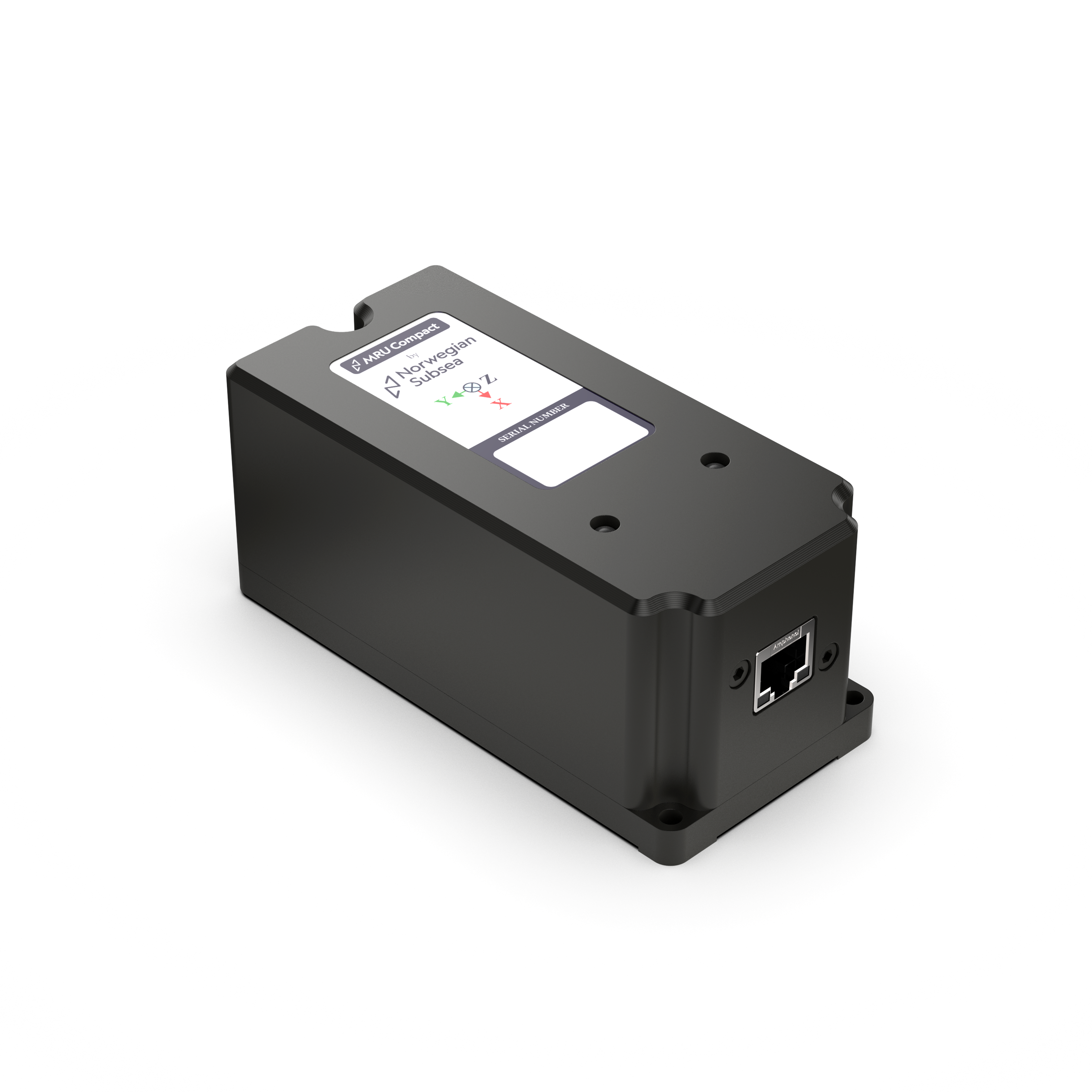
Definition: An Inertial Navigation System (INS) is a navigation device that utilizes motion sensors (accelerometers), rotation sensors (gyroscopes), and advanced sensor fusion algorithms to continuously calculate position, orientation, and velocity through dead reckoning, without relying on external references. When integrated with Global Navigation Satellite Systems (GNSS), forming an INS/GNSS system, it provides absolute position, orientation, and velocity in six degrees of freedom (6 DoF) by combining data from both systems. The GNSS calibrates the INS, enabling faster position and angle updates compared to GNSS alone. In other words, the INS fills in the gaps between GPS positions measurements. Moreover, if the GNSS signal is lost, the INS can maintain position and orientation calculations, although accuracy may drift over time, depending on the duration without GNSS signals.
Key Features:
- Sensors Included: High-end accelerometers and gyroscopes, and GNSS receiver.
- Output: Absolute position, orientation, and velocity (in 6 DoF).
- Functionality: The INS determines absolute position, orientation, and velocity in six degrees of freedom (6 DoF), while the GNSS provides periodic position updates to correct any drift in the INS.
- Applications: Used where continuous and accurate position and navigation data are required.
Example Uses:
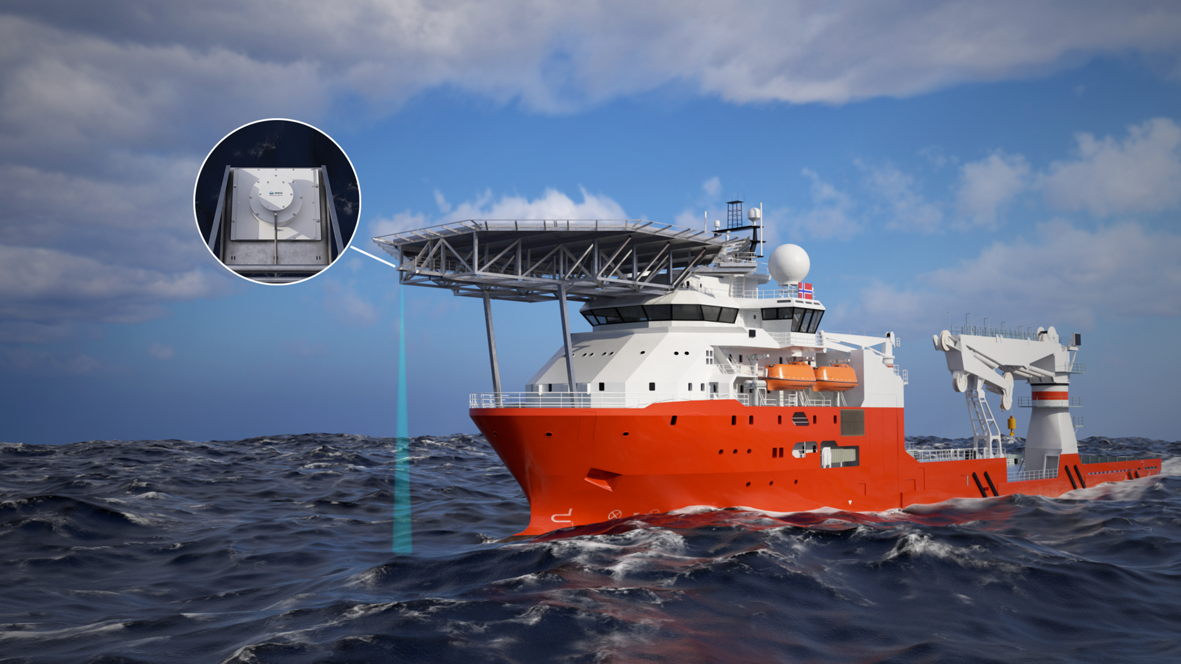
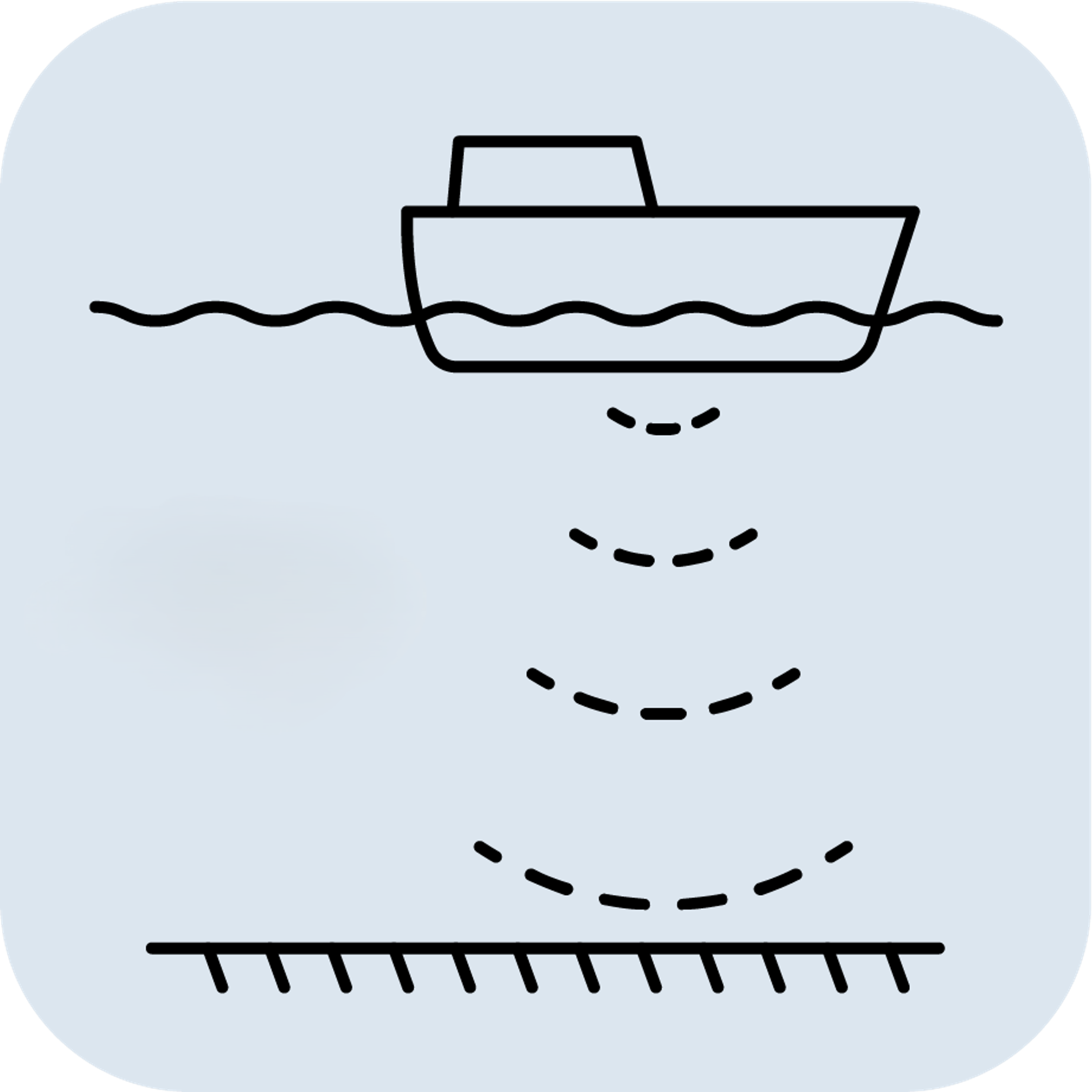
- Hydrography: Accurate motion compensation of Sonars, ensuring high-quality seafloor maps.
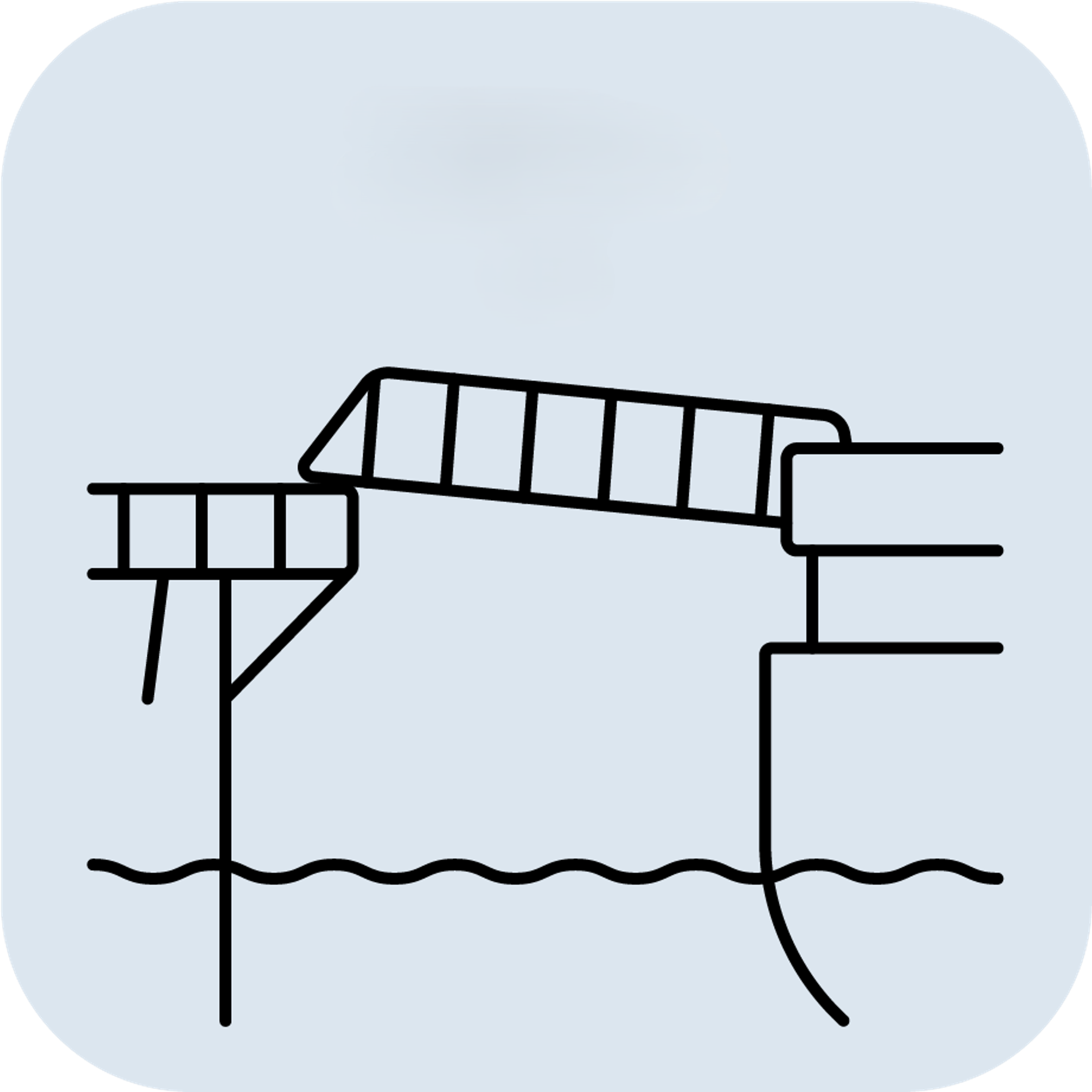
- Gangways and 3D-motion compensated cranes: Where absolute position is needed.
Selecting the appropriate sensor depends on the required measurements, environmental conditions, and budget.
- Use an IMU when you need raw acceleration and rotational data.
- Use an Inclinometer for simple, static tilt measurements.
- Use a Roll & Pitch Sensor for lower-level attitude measurements in a dynamic setting.
- Use a VRU when precise roll and pitch measurements are needed in a dynamic environment.
- Use an AHRS for roll, pitch, and heading data.
- Use an MRU for comprehensive motion data in dynamic marine environments.
- Use a Gyrocompass for accurate true north heading.
- Use a GNSS/INS for continuous, absolute position, velocity, and orientation data.