What is the difference between IMU, Inclinometer, Roll and Pitch Sensor, VRU, AHRS, MRU, Gyrocompass and GNSS/INS?
Understanding the Differences Between IMU, Inclinometer, Roll & Pitch sensor, VRU, AHRS, MRU, Gyrocompass, GNSS/INS
When navigating the complexities of motion sensing and navigation systems, it is essential to understand the distinctions between devices and systems like Inertial Measurement Units (IMUs), Inclinometers, Roll & Pitch sensors, Vertical Reference Units (VRU), Attitude and Heading Reference Systems (AHRS), Motion Reference Units (MRUs), Gyrocompasses, and GNSS-Aided Inertial Navigation Systems (GNSS/INS). Each serves specific purposes and offers different levels of functionality, accuracy, and application scope.
Inertial Measurement Unit (IMU)
Definition: An IMU is an electronic device that measures and reports an object's linear acceleration and angular velocity using a combination of accelerometers and gyroscopes along three orthogonal axes (X, Y, and Z). It achieves this by utilizing a combination of sensors—primarily accelerometers and gyroscopes, and occasionally magnetometers. IMUs only provide raw data from their sensors and do not include "smart" features such as processing (e.g., Kalman Filter). The IMU cannot provide attitude (roll and pitch), velocity, or position without external processing.
Key Features:
- Sensors Included: Accelerometers (measure linear acceleration) and gyroscopes (measure angular rate).
- Output: Raw sensor data on acceleration and rotation rates.
- Functionality: Provides fundamental motion data without further processing to determine attitude, velocity, or position.
- Applications: Used in systems where raw inertial data is sufficient or will be processed further by an external system.
Example Uses:
- Basic navigation systems: Where external processing is available.
- Robotics: For control algorithms requiring raw motion data.
- Stabilization of cameras and drones.
Inclinometer
Definition: An Inclinometer, also known as a tilt or level sensor, measures the angle of inclination or tilt of an object with respect to gravity. It determines the angle between the sensitive axis of the device and Earth's vertical direction (gravity vector). It is important to note that an Inclinometer only measures static angles, and therefore cannot provide accurate data in dynamic conditions involving movements or vibrations. Inclinometers are generally less expensive due to simpler components.
Key Features:
- Sensors Included: Primarily uses accelerometers to detect gravity's direction.
- Output: Measures static angles accurately when the device is stationary.
- Functionality: Determines roll and pitch in static conditions, but lacks accuracy in dynamic settings.
- Applications: Used in systems that are stationary or moving very slowly and do not experience vibrations.
Example Uses:
- Simple Leveling: Leveling equipment that is not in motion.
- Monitoring Tilt: For structures, bridges, and buildings.
- Measuring Slope: Useful for landslide-prone areas.
Roll & Pitch Sensor
Definition: A Roll & Pitch sensor, also known as a dynamic inclinometer, is a device designed to measure an object's attitude (roll and pitch). It incorporates gyroscopes to enhance its dynamic measurement capabilities. Compared to an inclinometer, a Roll & Pitch sensor is more advanced, featuring an onboard processing unit that performs basic sensor fusion by integrating gyroscope data. While it offers improved performance over inclinometers (compensating for errors caused by non-gravitational accelerations) it is less accurate than a VRU or MRU due to the use of lower-quality accelerometers, gyroscopes, and less sophisticated sensor fusion algorithms in its onboard processing unit.
Key Features:
Sensors Included: Accelerometers and gyroscopes.
- Output: Measures rotation around two axes, roll and pitch, with enhanced dynamic measurement capabilities compared to an inclinometer
- Functionality: It delivers improved attitude measurements (roll and pitch) in dynamic conditions compared to an inclinometer, but falls short of the accuracy achieved by a VRU or MRU.
- Applications: Used in less critical systems that do not require highly accurate roll and pitch measurements in dynamic conditions. These systems can tolerate some movement and vibration, but their accuracy decreases as movement and vibration increase.
Example Uses:
- Orientation Monitoring: For smaller vessels, barges, and buoys.
- Control Systems Feedback: For stabilizer fins in smaller boats.
- Stabilizing Platforms: Such as cameras and antennas.
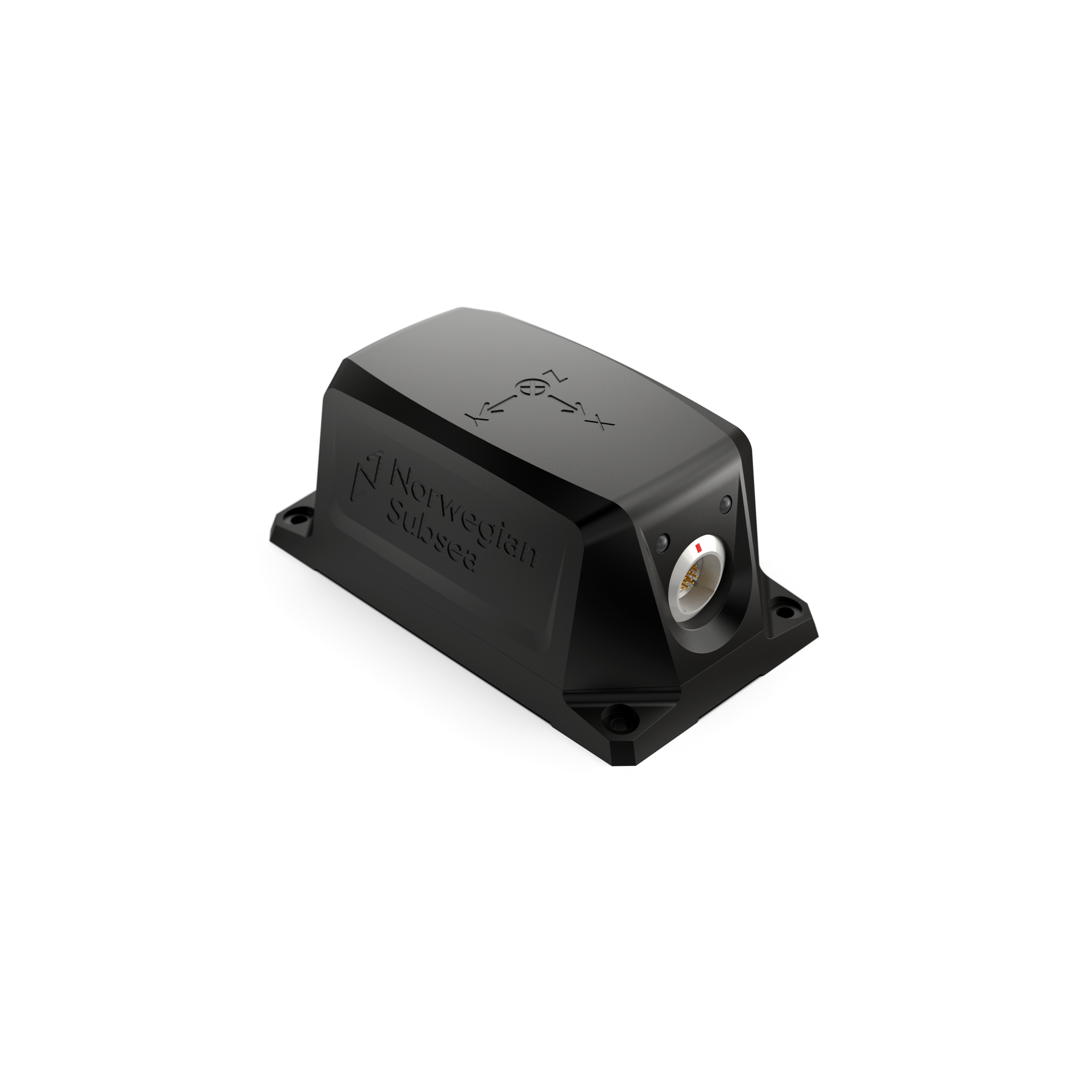
Vertical Reference Unit (VRU)
Definition: A VRU is an advanced device that measures the attitude (roll and pitch) of an object using high-end accelerometers and gyroscopes, combined with advanced sensor fusion algorithms. VRUs provide very accurate roll and pitch measurements, even in dynamic environments.
Key Features:
- Sensors Included: High-end accelerometers and gyroscopes.
- Output: Real-time, high-accuracy roll and pitch data.
- Functionality: Functionality: Designed for dynamic environments, particularly in marine settings, to deliver precise roll and pitch measurements under real sea conditions.
- Applications: Delivers real-time, high-accuracy roll and pitch data for monitoring, control, or instrument compensations within the maritime, offshore, and subsea sector.
Example Uses:
- Dynamic Positioning Systems
- Advanced Instrument Compensation: Used in monitoring and control systems where only roll and pitch data is needed.
Comparison to MRU: A VRU shares similarities with an MRU, incorporating real-time, high-precision accelerometers and gyroscopes along with advanced sensor fusion algorithms in a single self-contained unit. Both devices calculate coupled motions across all six degrees of freedom (DoF): Roll, Pitch, Yaw, Surge, Sway, and Heave. However, while the MRU outputs data for all six DoF, the VRU is limited to providing roll and pitch data only. This restricted output makes the VRU generally more cost-effective than the MRU.
Summary: Inclinometer, Roll & Pitch Sensor, and VRU
Although an Inclinometer, Roll & Pitch Sensor, and VRU all measure attitude (roll and pitch), they vary significantly in accuracy, capabilities, and ideal applications:
- Inclinometer: Best suited for basic static tilt measurements. It is ideal for stationary or slow-moving applications where simplicity and low cost are primary concerns
- Roll & Pitch Sensor: Capable of measuring roll and pitch angles in conditions with some motion. It is suitable for applications requiring dynamic orientation data but not high accuracy. However, it is not ideal for environments with rough sea conditions or rapid, complex motions (e.g., coupled movements).
- VRU: Delivers high-precision roll and pitch measurements in dynamic and challenging environments, such as rough sea conditions. It is indispensable for applications requiring accurate attitude data, even in the presence of vibrations and complex, coupled motions in real sea conditions.
Choosing the right device depends on factors like dynamic performance, complexity, cost, and the specific requirements of your application.
Attitude and Heading Reference System (AHRS)
Definition: An Attitude and Heading Reference System (AHRS) is an integrated system that builds on the capabilities of a Roll & Pitch sensor, offering complete orientation information—roll, pitch, and yaw (heading). It achieves this by processing data from an IMU combined with additional sensors, such as magnetometers or, in some cases, a north-seeking gyro (commonly referred to as a gyrocompass). An AHRS features an onboard processing unit that calculates attitude (roll and pitch) and heading using sensor fusion algorithms such as Kalman filters. It integrates data from accelerometers, gyroscopes, and magnetometers, applying these algorithms to correct sensor errors, biases, and drift, ensuring accurate and drift-free orientation. While combining sensors in an AHRS addresses many limitations, magnetic disturbances can still pose a challenge. Both internal and external disturbances may affect the magnetometer, potentially impacting the accuracy of the system's heading estimation.
Key Features:
- Sensors Included: Accelerometers, gyroscopes, and magnetometers.
- Output: Orientation data (roll, pitch, and heading).
- Functionality: Incorporates an onboard processing unit that utilizes sensor fusion algorithms (e.g., Kalman filters) to accurately compute orientation data.
- Applications: Provides real-time, accurate orientation data for navigation and control systems.
Example Uses:
- Maritime navigation systems
- Ship Stabilization Systems
- Aviation and drones
Motion Reference Unit (MRU)
Definition: A motion Reference Unit (MRU) is a specialized device and self-contained sensor that measures motion in all six degrees of freedom (DoF): Roll, Pitch, Yaw, Surge, Sway and Heave. The six DoF positions, velocities and accelerations are measured by the MRU using high-end gyroscopes and accelerometers (and sometimes magnetometers) together with advanced fusion algorithms. An MRU has high accuracy Roll and Pitch measurements, and measures oscillatory Heave, Surge and Sway motions for wave periods at sea. Linear motions with very long periods, or steps, cannot be measured by an MRU as it assumes a 0 mean heave position.
Key Features:
- Sensors Included: High-end accelerometers and gyroscopes (and sometimes magnetometers).
- Output: Provides real-time, high-accuracy motion data in all six DoF (roll, pitch, yaw, heave, surge, and sway).
- Functionality: Optimized for dynamic environments, especially in marine settings, to provide accurate motion measurements under real sea conditions.
- Applications: Provides real-time, high-accuracy motion data in alle 6 DoF for monitoring, control, or instrument compensations within the maritime, offshore, and subsea sector.
Example Uses:
- Monitoring systems: Ship motion monitoring, helideck monitoring, structural monitoring, and riser monitoring.
- Control systems: Active heave compensation in cranes, winches, and gangways.
- Instruments compensation: Hydrography, wave radar, dynamic position, and wind lidar.
Gyrocompass
Definition: A gyrocompass is a navigational instrument that determines true north by utilizing high-precision gyroscopes, such as fiber optic gyros (FOG), ring laser gyros (RLG), or traditional spinning-mass gyros. Unlike magnetic compasses, which are susceptible to magnetic anomalies, a gyrocompass identifies true north based on the Earth's rotation, aligning with the geographic North Pole. It provides constant and reliable heading information without dependence on external signals like GPS, which can be disrupted or unavailable. The incorporation of advanced, high-precision gyroscopes contributes to the high cost of gyrocompasses.
A gyrocompass has a settling time to stabilize and accurately align with true north after initialization, which can vary depending on the system's design and environmental factors. At high northern or southern latitudes, the gyrocompass faces challenges due to the diminishing horizontal component of Earth's rotation, making it harder to align to true north.
Key Features:
- Sensors Included: High-precision gyroscopes and accelerometers
- Output: True north heading information.
- Functionality: Uses gyroscopic principles and Earth's rotation to maintain a true north orientation.
- Applications: Provides stable and accurate heading information, essential for navigation in vessels and aircraft.
Example Uses:
- Maritime Navigation systems: Ships, autonomous underwater vehicles (AUV) and working class Remotely Operated Vehicles (ROV).
- Alignment of Subsea installations
- Aircraft heading reference systems
GNSS-Aided Inertial Navigation System (GNSS/INS)
Definition: An Inertial Navigation System (INS) is a navigation device that utilizes motion sensors (accelerometers), rotation sensors (gyroscopes), and advanced sensor fusion algorithms to continuously calculate position, orientation, and velocity through dead reckoning, without relying on external references. When integrated with Global Navigation Satellite Systems (GNSS), forming an INS/GNSS system, it provides absolute position, orientation, and velocity in six degrees of freedom (6 DoF) by combining data from both systems. The GNSS calibrates the INS, enabling faster position and angle updates compared to GNSS alone. In other words, the INS fills in the gaps between GPS positions measurements. Moreover, if the GNSS signal is lost, the INS can maintain position and orientation calculations, although accuracy may drift over time, depending on the duration without GNSS signals.
Key Features:
- Sensors Included: High-end accelerometers and gyroscopes, and GNSS receiver.
- Output: Absolute position, orientation, and velocity (in 6 DoF).
- Functionality: The INS determines absolute position, orientation, and velocity in six degrees of freedom (6 DoF), while the GNSS provides periodic position updates to correct any drift in the INS.
- Applications: Used where continuous and accurate position and navigation data are required.
Example Uses:
- Hydrography: Accurate motion compensation of Sonars, ensuring high-quality seafloor maps.
- Gangways and 3D-motion compensated cranes: Where absolute position is needed.
Comparative Summary of All Sensors: | IMU | Inclinometer | Roll & Pitch Sensor | VRU | AHRS | MRU | Gyrocompass | GNSS/INS
- Measured Parameters: Vary from raw linear acceleration (IMU) to comprehensive motion data (MRU and GNSS/INS).
- Dynamic Performance: Differences in sensor sophistication determine accuracy levels in dynamic environments.
- Applications: Range from simple leveling tasks (Inclinometer) to advanced marine (GNSS/INS).
- Complexity and Cost: Higher complexity typically leads to increased cost, as seen in MRUs, Gyrocompasses, and GNSS/INS systems.
Note: Selecting the appropriate sensor depends on the required measurements, environmental conditions, and budget.
- Use an IMU when you need raw acceleration and rotational data.
- Use an Inclinometer for simple, static tilt measurements.
- Use a Roll & Pitch Sensor for lower-level attitude measurements in a dynamic setting.
- Use a VRU when precise roll and pitch measurements are needed in a dynamic environment.
- Use an AHRS for roll, pitch, and heading data.
- Use an MRU for comprehensive motion data in dynamic marine environments.
- Use a Gyrocompass for accurate true north heading.
- Use a GNSS/INS for continuous, absolute position, velocity, and orientation data.