The Motion Reference Unit of choice for Seismic Survey Vessels
Precise motion measurements are essential for seismic survey vessel operations, supporting data quality, equipment integrity, streamer positioning, and overall survey efficiency.
Precise motion measurements are essential for seismic survey vessel operations, supporting data quality, equipment integrity, streamer positioning, and overall survey efficiency.
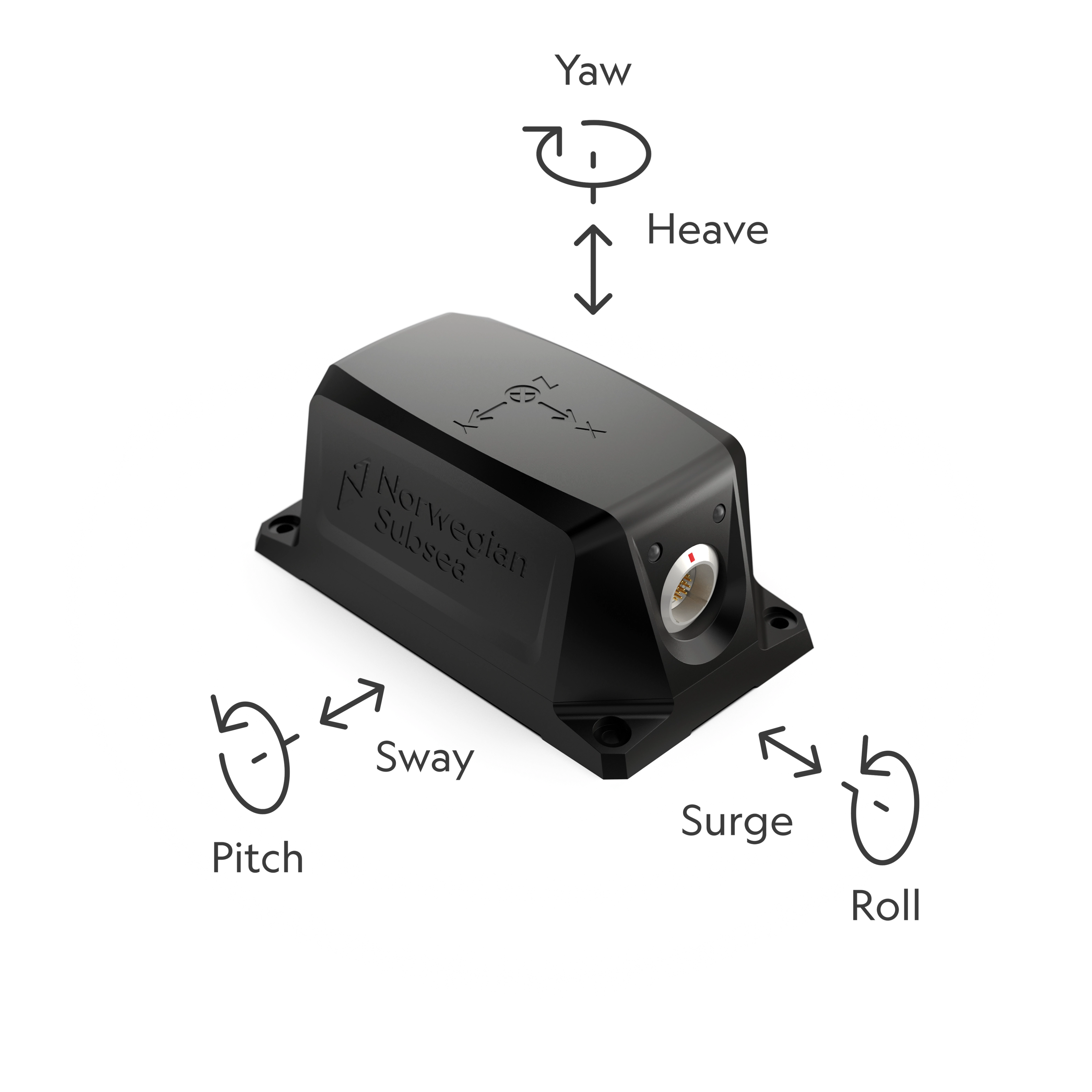
With accurate real-time data on roll, pitch, heave, and all six degrees of freedom, Norwegian Subsea MRUs serve multiple critical functions aboard seismic vessels. At the vessel level, MRUs ensure accurate motion compensation for onboard sonar and survey equipment, maintaining data integrity even in challenging sea conditions. Deployed along seismic streamers, MRUs provide continuous dynamic angle and orientation data at multiple points — giving operators a precise, real-time picture of streamer geometry that is essential for accurate subsurface imaging.
Beyond data quality, MRU data establishes the correlation between sea conditions, vessel response, and main engine consumption — giving operators the insight needed to optimise propulsion and reduce fuel consumption on every voyage. With growing IMO reporting requirements, most operators already have flowmeters in place, but motion data remains a missing piece. Adding an MRU closes that gap, enabling more accurate performance benchmarking and emissions reporting.
Motion Reference Units (MRUs) enhance both regulatory compliance and insurance relations for seismic survey operators by providing verified motion data that documents safe operations, supports transparent reporting, and protects against liability — particularly in an environment where expensive towed equipment, complex multi-vessel operations, and high survey day rates make accurate documentation essential.
Accurate motion data helps seismic vessel operators demonstrate compliance with international regulations governing vessel stability and safety, including IMO SOLAS requirements, as well as client-specific and flag state requirements that govern survey operations in sensitive or restricted areas.
In the event of an incident, whether involving streamer damage, equipment loss during deployment or recovery, or vessel handling in severe sea conditions — MRU data provides a precise log of vessel motion, streamer behaviour, and sea conditions at the time. This factual record is critical for investigations by maritime authorities and survey clients, and helps operators demonstrate that the vessel and equipment were being operated within approved parameters.
Seismic vessel insurance policies typically require adherence to defined operational and sea state limits, particularly when towing expensive streamer arrays. MRU data allows operators to document continuous compliance across every survey, supporting smoother claims processing and reducing the risk of denied or disputed coverage in the event of equipment loss or damage.
In cases of streamer loss, equipment damage, or personnel incidents during survey operations, MRU data provides a factual account of vessel motion and sea conditions at the moment of the incident. This protects operators against unfounded liability claims and provides the transparency required by both insurers and survey clients when assessing responsibility and quantifying losses.
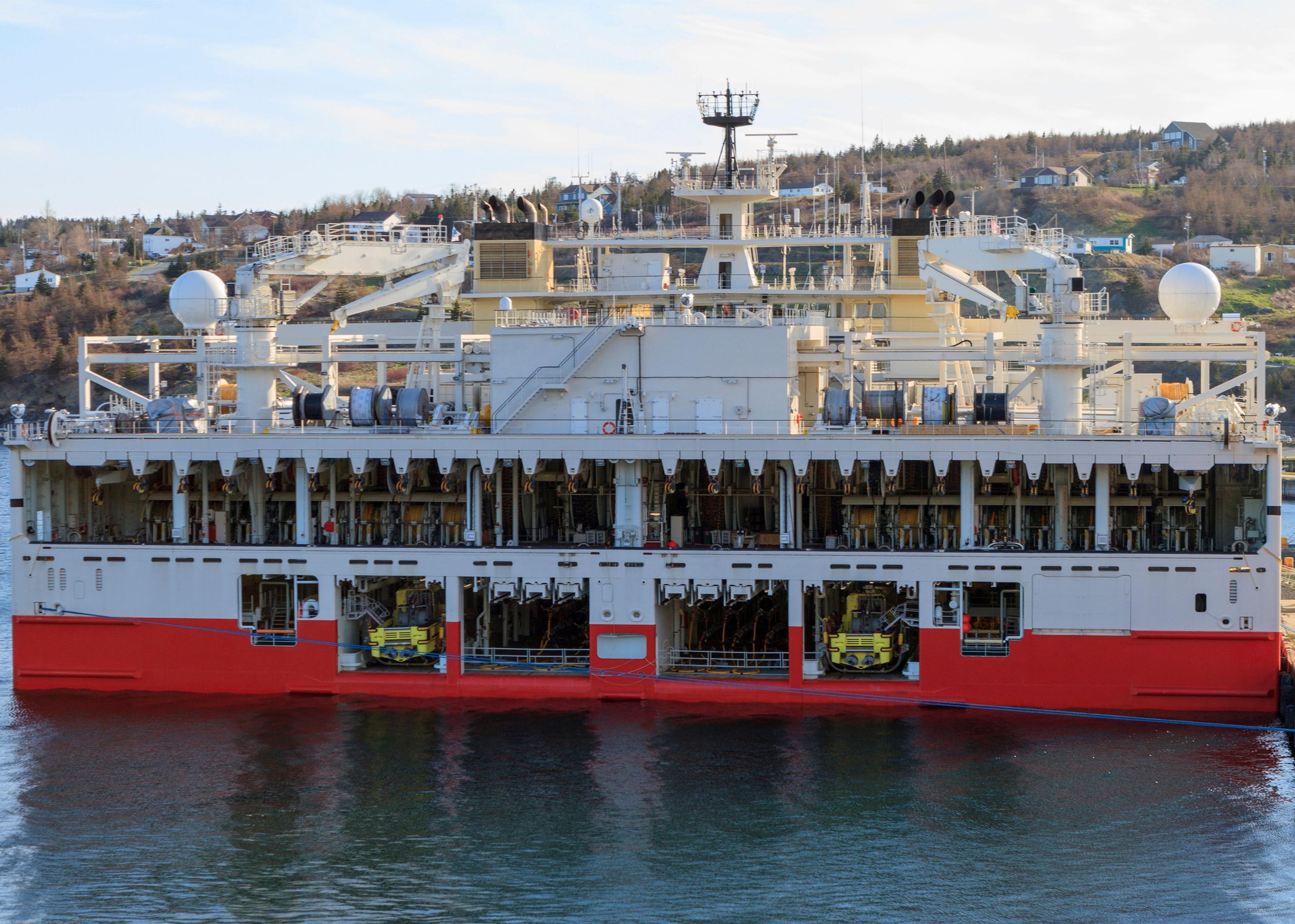
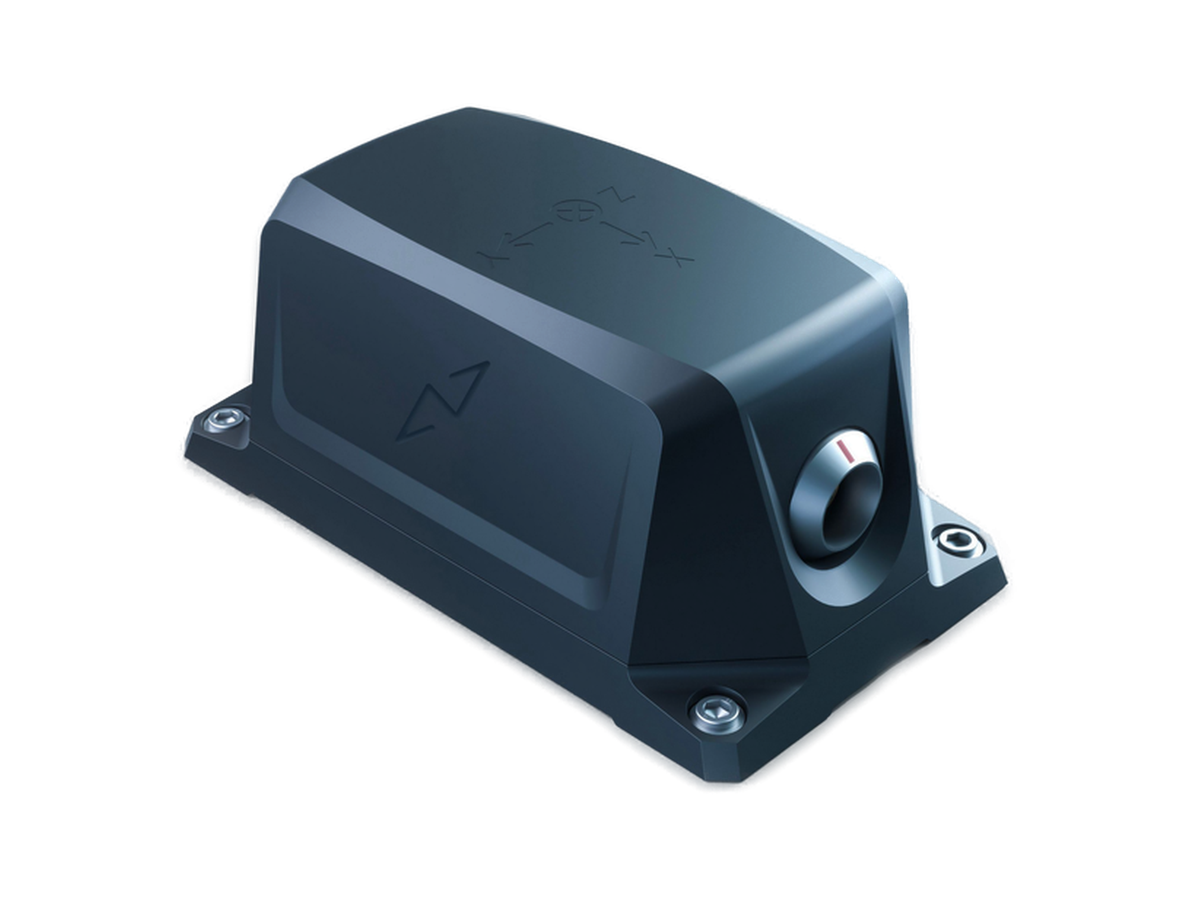
50 m depth, IP 68
5 cm or 5.0%
Lemo or SubConn 8 or SubConn 16
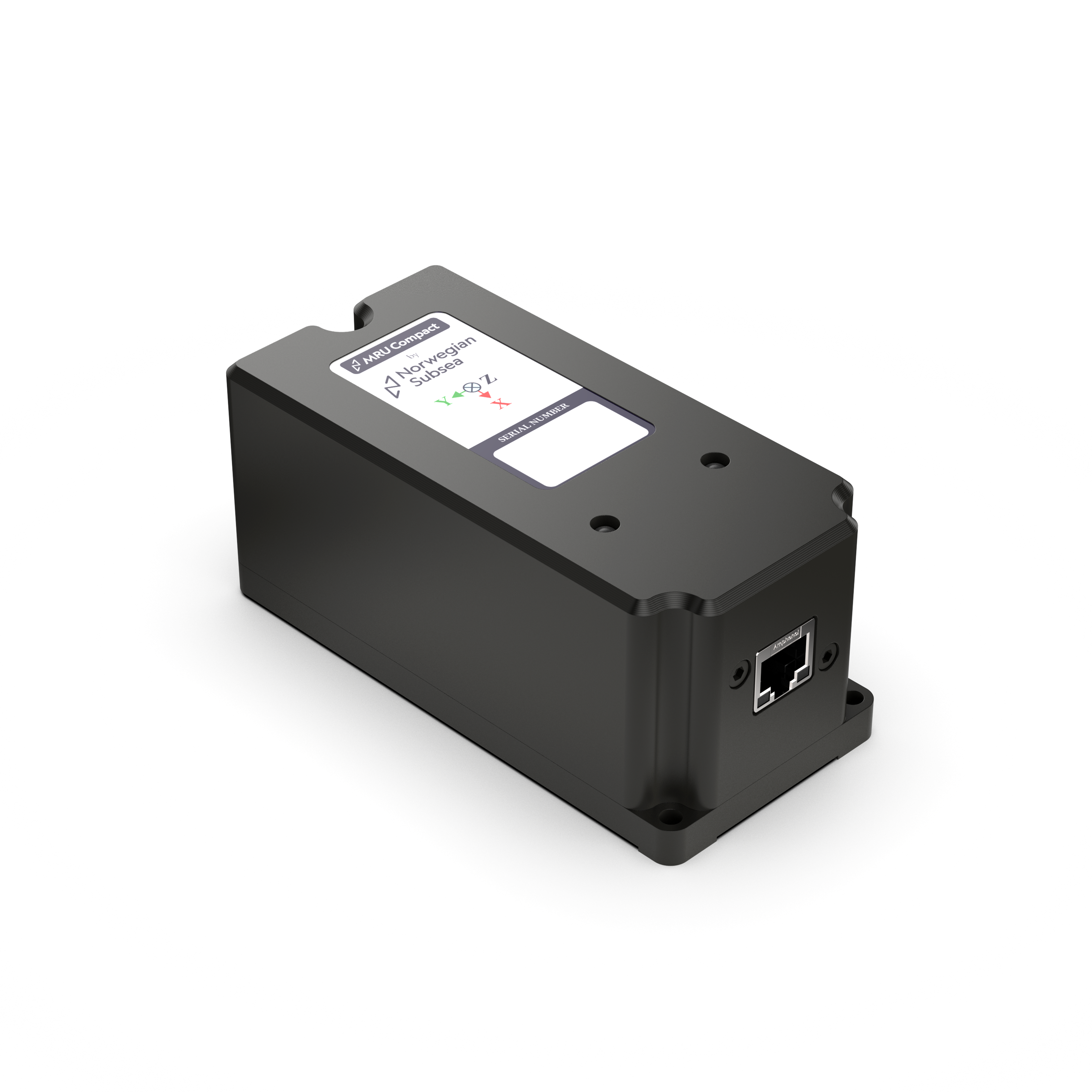
IP 65
5 cm or 5.0%
RJ45 or RJ50
"Norwegian Subsea MRUs had the accuracy, the temperature range, and the enterprise-level quality we required"

"They are rock solid. Many Norwegian Subsea MRUs have been running 24/7 inside Miros products for up to eight years without issue, producing real-time data every second."